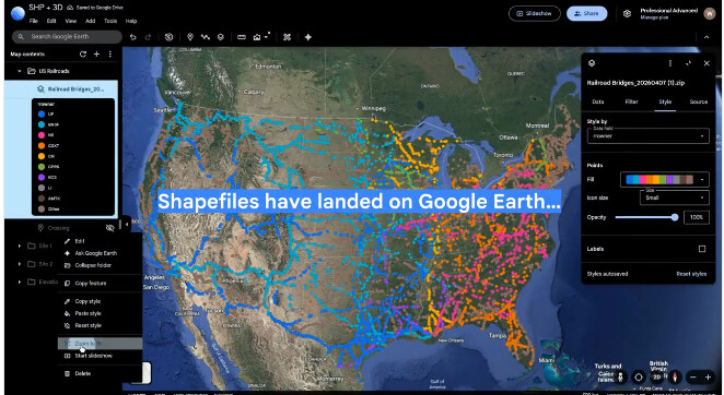
Shapefiles have officially landed in Google Earth. I think this is one of those updates that looks small from the outside, but actually says a lot about where GIS is going.
Not because shapefiles are suddenly the future again. They had a legendary run, but let’s be honest: shapefiles are no longer the modern GIS default. The format comes with all the old baggage we know too well: multiple files that must travel together, 10-character field names, fragile encoding, limited CRS metadata, size limits, and that familiar feeling that one missing sidecar file can ruin your afternoon.
For new work, the path is much cleaner now.
GeoPackage when you need a durable local format.
GeoJSON when you want something simple for the web.
Parquet and FlatGeobuf when you care about scale, speed, and modern data pipelines.
But this is exactly why Google Earth adding shapefile support matters.
Because the real world of GIS is not made only of clean modern workflows. It is full of zoning plans, property boundaries, municipal exports, consultant folders, old project archives, and government datasets still sitting somewhere as zipped shapefiles.
That world still exists.
And now it can be pulled directly into Google Earth, rendered, shared, and turned into a flexible cloud-native layer without forcing people to first understand the whole mess of GIS file conversion.
To me, that is the real story here and not shapefile as the destination.
Shapefile as the bridge between the old GIS world and the one we are building now.