Hello Atoll Experts.
Is there a way to load height maps available from sites like NASA?
Is it tiff format or similar?
Has anyone get this to work?
Hello Atoll Experts.
Is there a way to load height maps available from sites like NASA?
Is it tiff format or similar?
Has anyone get this to work?
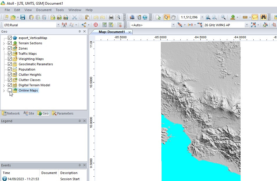
Do you mean terrain?
Terrain height?
Yes, exactly.
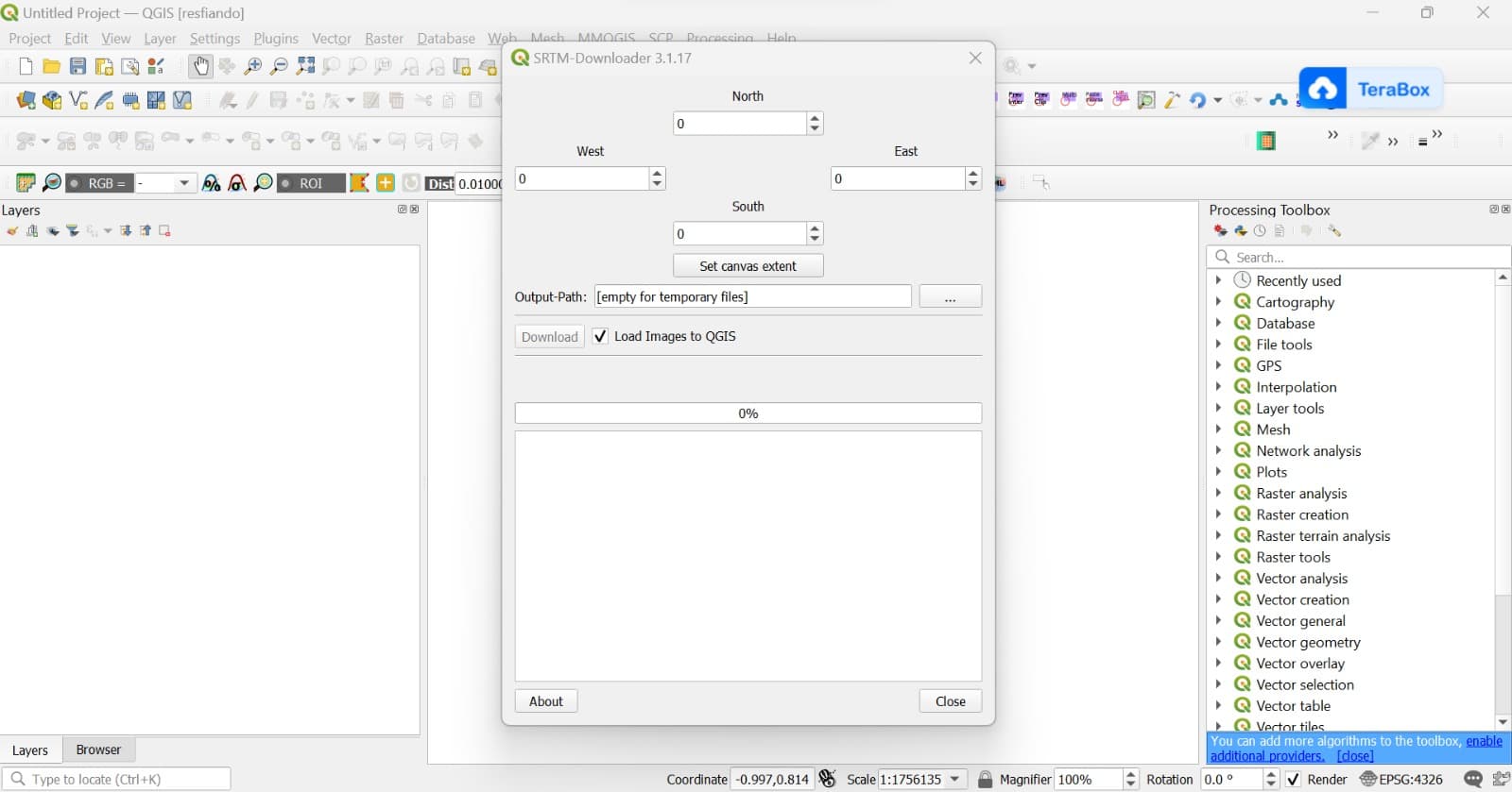
Yes, for QGIS I have the tool.
After I get the maps, how to export for Atoll?
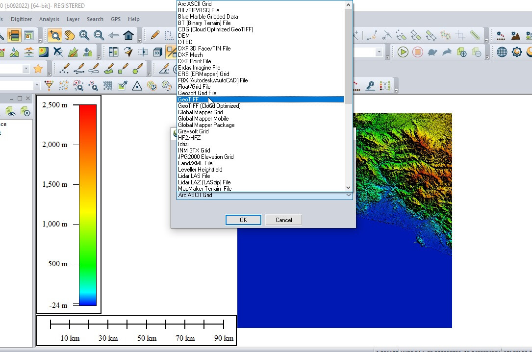
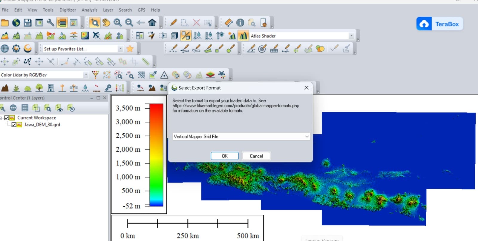
You have to convert .tiff to GRD.
You can use Global Mapper.