Hi Experts,
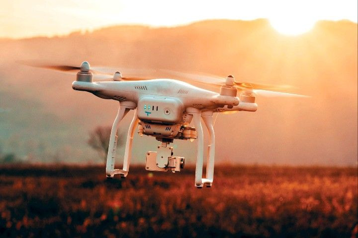
Can drones be more suitable to conduct RF drive test in Metro and urban areas where congestion in the road would greatly disturb the test?
2 Likes
I think the UE must be at ground level, so it can see a measure from real users perception. ![]()
But here you can find a good article about it:
5 Likes
The link provided by Leonardo discussed the potential of controlling a drone via mobile communications, which is still a long way to go. But, Leonardo is correct on the need to ensure that it needs to be done at least similar to the mobile receiver height
4 Likes
It is useful to analyze rural areas where you don’t have car roads or areas with restricted access but need cellular services.
2 Likes
I suddenly remember reading an article a mobile operator in UAE, DU, used a drone for a drive test in a stadium. Stadium and any large indoor/outdoor space for gathering can be other potential scenarios of using a drone for drive test as well
2 Likes
Another Good Article on Drone Based measurements:
Ericsson performs novel 5G coverage and performance verification using drone-powered solution from Rohde & Schwarz | Rohde & Schwarz (rohde-schwarz.com)
I did my master’s thesis focused on drive test with drones, I took several samples with drone and vehicle, this to calculate losses due to height, the tests were in an LTE network, the sampling with the drone was taken at 8 meters high and when applying The averaged losses were very similar to the sampling taken with a vehicle, with a drone the time to take the sampling is reduced and it is very meticulous, since there are no areas without evaluating
2 Likes
Can you share the document with me? I am working on my pregrade thesis proyect alike and would be great help for me to study
Thank you for your attention
Anyone is aware of DT (Single site verification) through drones?
Any more details on this?
We’re using NEMO Handy for this and lock the drive test measurement on that specific tower.
Circling around at several radius at max 1 km.
And measure at different elevation.
Still on planning though.
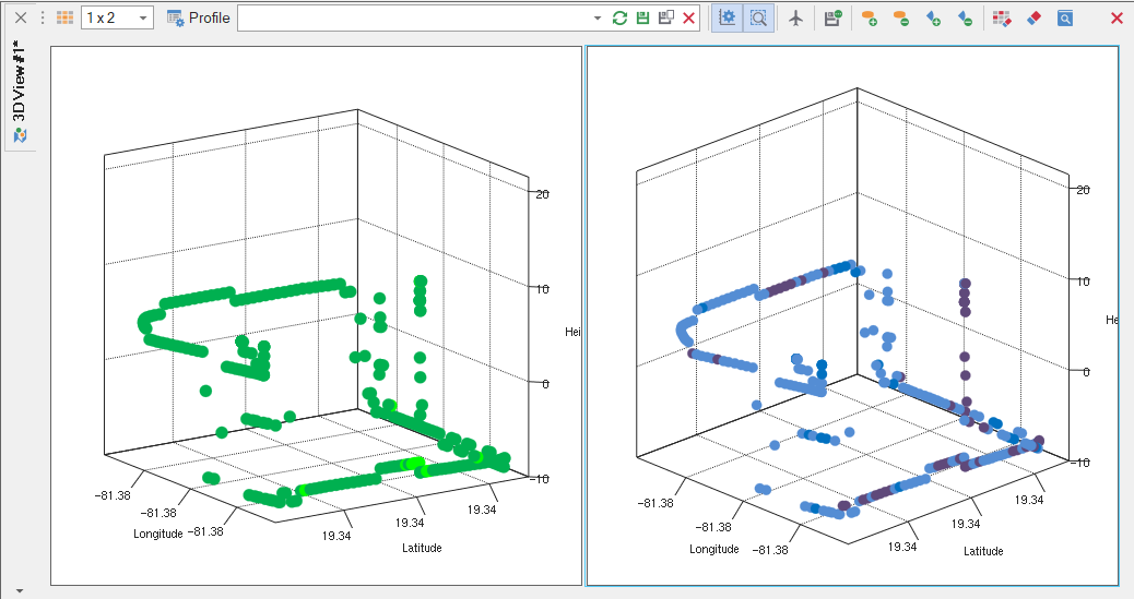
FYI, Focus Analyzer (https://sanworl.com) can display the drone test data in 3D chart view, allowing zoom in, zoom out, and rotation.
Peter