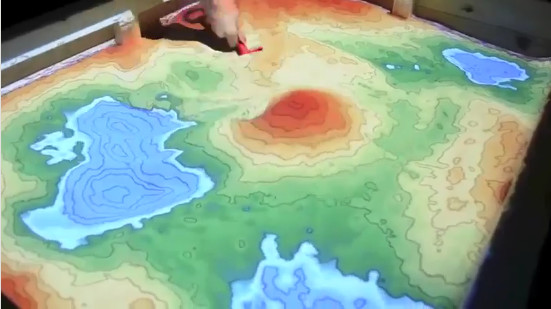
Augmented reality sandbox showing topography and rain/flood modelling.
Who would like to have a play? ![]()
A hands-on sandbox exhibit combined with 3D visualization applications created by researchers at UC Davis.
Simply mold the sand by hand and the landscape comes to life! The sand is augmented in real-time with an elevation color map, topographic contour lines, and simulated water.
See the AR Sandbox in action:
UCLA’s Augmented Reality Sandbox

Augmented Reality Sandbox at the Lawrence Hall of Science (Video 1)
")