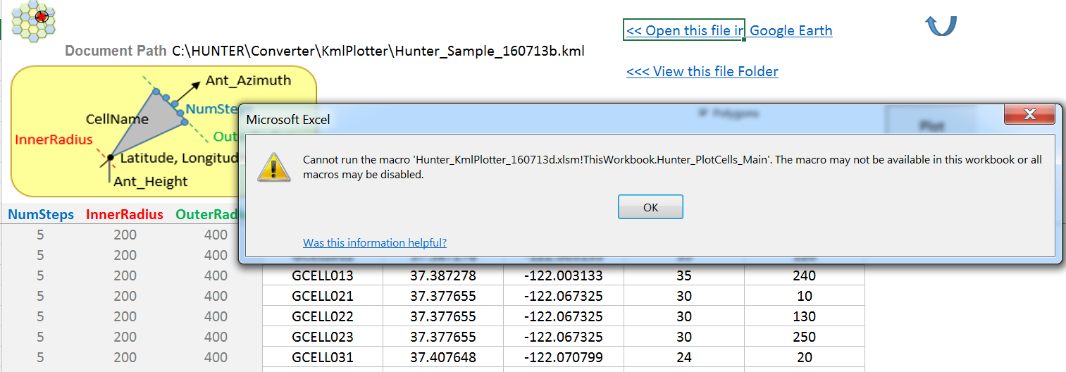
I have problem while using it as Excell saying, I have enable macro and restart but can not use this tool.
Please someone help to fix.
Please someone help to fix.
Hello dear @Hainm.
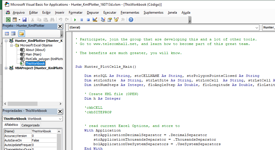
It looks like, for some reason, the file was corrupted, maybe during download.
And for security reasons, VBA Code was removed:
Please try to download again, and check VBA Code, that must look like this:
As you’re using VBA too, maybe you’re interested in this VBA article too (with great tips):
Best VBE (VBA Code Editor) Tips Ever
BR,
Leo
![]() Admin note, this is and AD from a Community member
Admin note, this is and AD from a Community member ![]()
If you need same application in Java or any other technology, user input csv file and tools will generate KML/KMZ you can customize your coloring format for each frequency, Fan length, site and cell labels, and other site database information like MSC/BSC/RNC LAC neighbour list information in description popup.
https://www.fiverr.com/saqib1166/support-in-programming-oracle-sql-plsql-forms-report
Hello @leopedrini , from where we can import the kml file…? I mean how can we prepare the kml to import in tool
Hello @Ksaurabh_Singh,
you can download it using Download Link in the main post.
It have already some some data, so you can simply run.
The goal of the file (with all the code included) is to be a starting point to anyone that want to extend it.
But you can use it as is, to plot Sectors Petals and/our Site points.
Hi Leo,
Thanks for the post.
Can we make thematic for cells’ colors based on certain criteria, for example: high Util, med Util, Low util, or total payload range.
Well, it will be very powerfull in order to present detail map analysis over live network.
Thanks in Advance!
BR,
Stev
Hi @stev.aryanto .
It is possible, and I do it in my network.
I play a lot, and the results are really amazing.
For example, you can create great apps using Network Links: Using Network Links Effectively – Google Earth Outreach
Play with colors, shapes… and also to present it in 3D.
Unfortunately, all my apps are very customized, and i use VBA (Excel and Access) but I am pretty sure there are people developing it in Python, Java, etc…
So, the answer is: yes, you can get really amazing presentations and do analysis simply by handling data + Google Earth. ![]()
Hello Leo,
is there an option to change the output polygon color for some patch of cells?
thanks
BR
Ahmed
Yes dear @ahmedbehiry.
Same answer as i said here:
Hi
I found this tool online, seems quite helpful.
Planeman_KML_Generator_Version4.zip (197.1 KB)
Is this free Sir…?
Hello this file you shared it has error(mismatch type).
if you have the updated one kindly share.
thank you
Que valor tendría que colocar en NumSteps, por ejemplo para que tenga 360 grados? o 1 grado? y allí poder multiplicarlo, de acuerdo a los grados de apertura horizontal.
Saludos cordiales.
What value would I have to place in NumSteps, for example so that it has 360 degrees? or 1 degree? and there to be able to multiply it, according to the degrees of horizontal opening.
Best regards.
An extremely simple yet powerful tool. Thanks so much for sharing.
Hi
please share update Hunter lite file
You can download File provided in first Post.
With this file, you can generate your kml… no other file is needed.
And also you can customize VBA code to plot KML as you wish.
Hi Bilal,
could you share you excel to how to do the colors of the sectors please Sir.
Best Regards,
robert
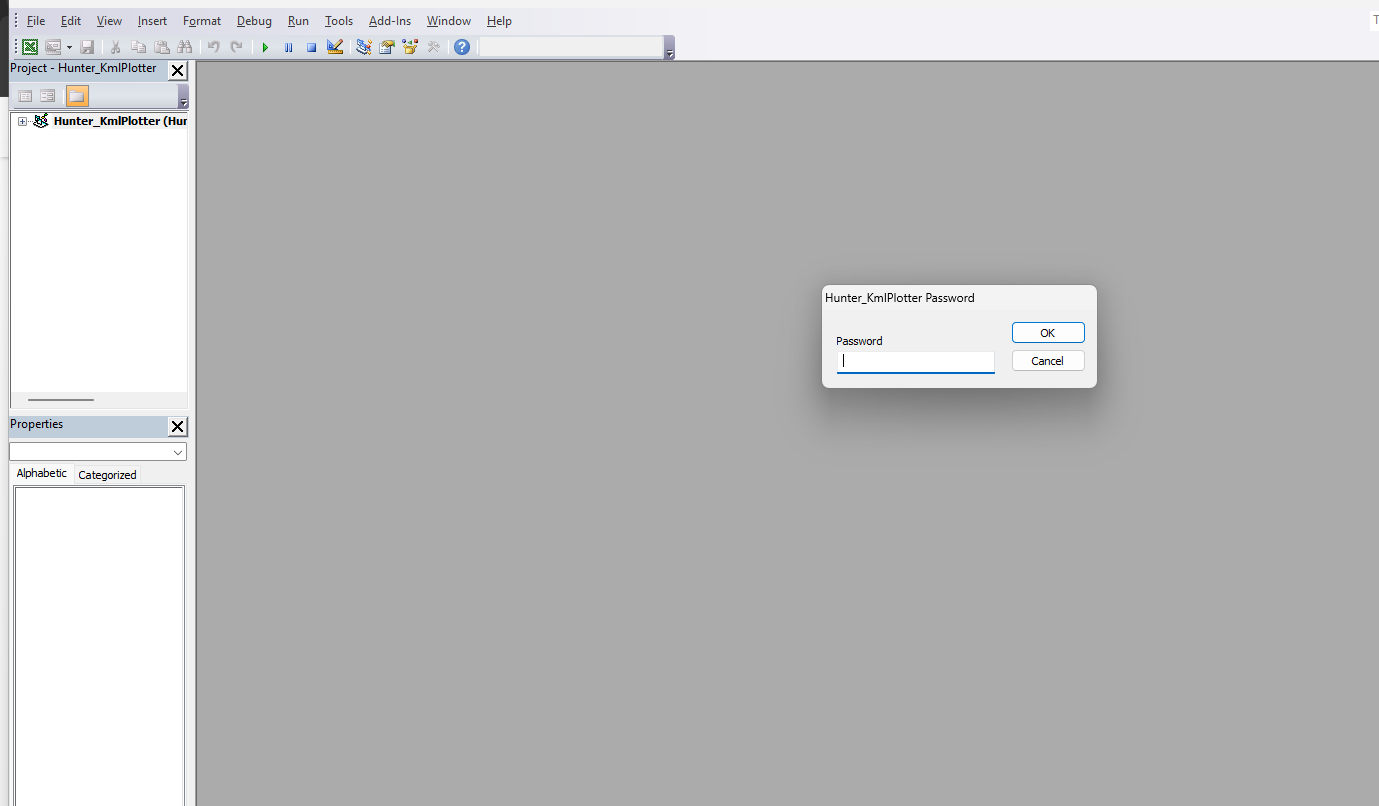
hI SIR,THANKS FOR THE TOOLS,
WHAT IS THS PASS?
There is NO password.