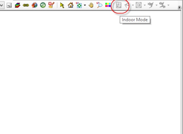
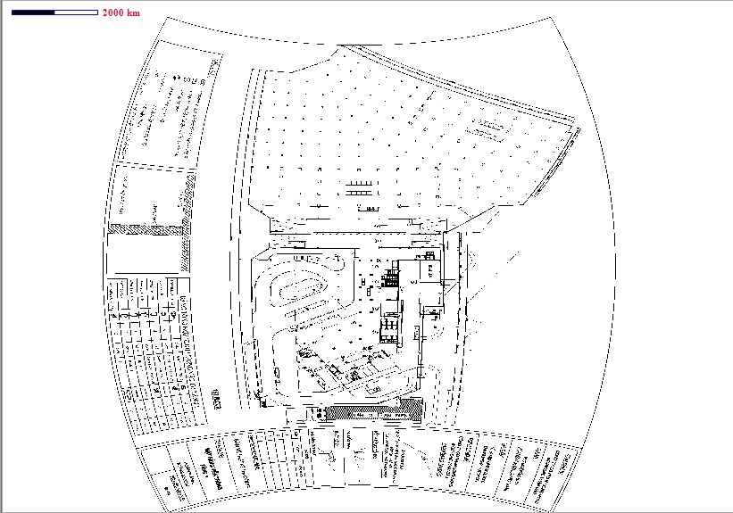
Hello everyone, can you help to resolve some issues I am facing? I am using TEMS Discovery and I need to plot the raster image accurately but what is happing is the image is always adopting the spherical form and what I need is Cartesian form. then I found out another map feature in TD which I dont know if I need additional license for it. May issues are as follows :
- Do we need to activate new license to open indoor map as per the screenshots below?
- Alternative is, is the anyway to convert the spherical formed image into cartesian form?
I hope someone can help me. Thanks guys!